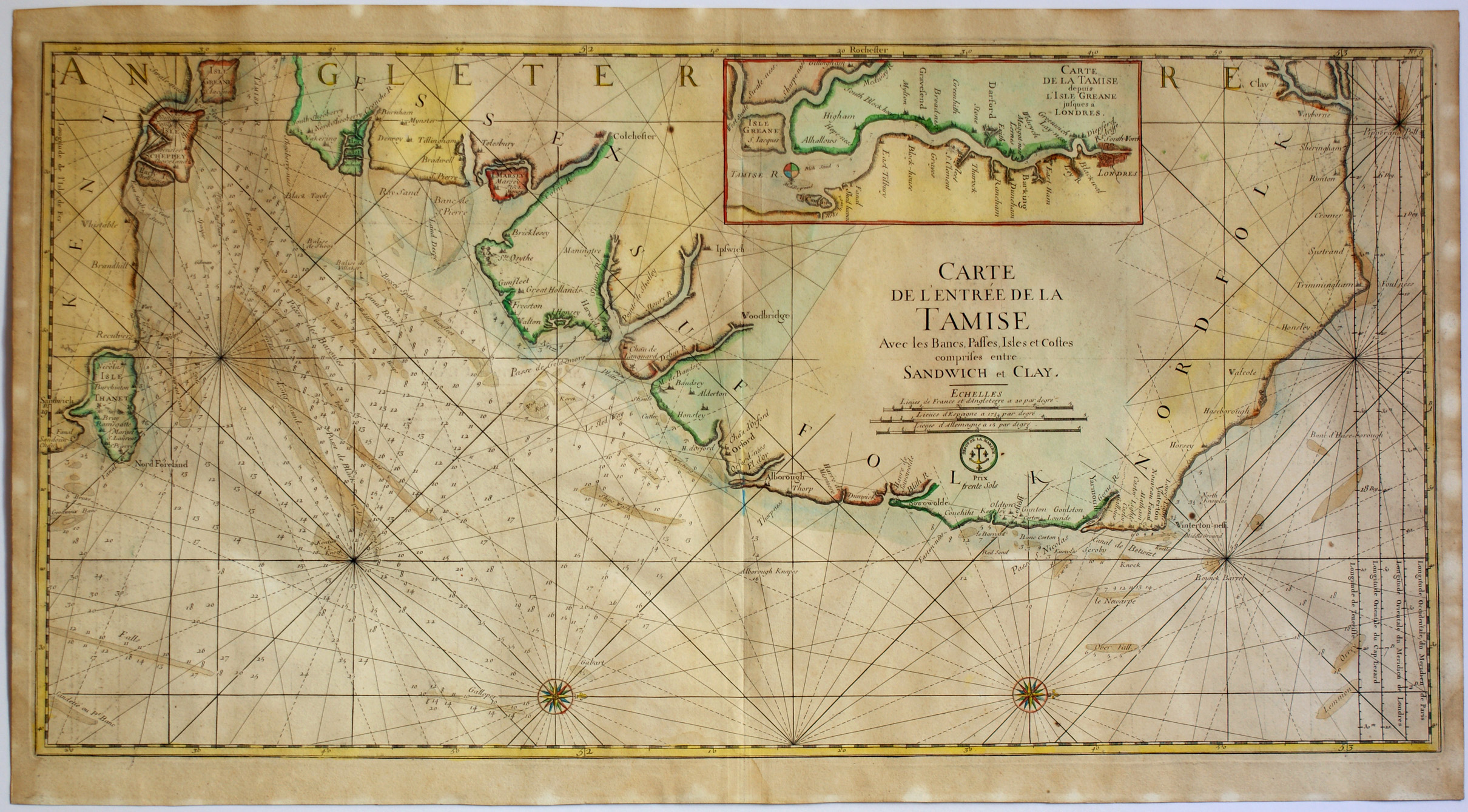
Carte de l'entrée de la Tamise
Jacques Nicolas BELLIN
(1703 - 1772)
“Carte de l'entrée de la Tamise
avec les Bancs, Passes, Isles et Costes
comprises entre Sandwich et Clay”
Beautiful engraving showing the coast of England with the Thames Estuary and the North Sea coast from Sandwich in Kent to Clay in Norfolk.
The map comes from a later edition of the “Neptune Francois” revisited by Nicolas Bellin issued by the Depot de la Marine about 1773 on the first version published in Paris by Alexis Hubert Jaillot (1632ca – 1712) in 1693.
Very nice example printed on heavy laid paper with watermark “Doubleheaded eagle” and countermark of the Papeterie d'Auvergne, relating to french paper production of the Seventeenth century, with margins around the platemark, slightly wavy and browned, some lightspotting at the borders otherwise in good condition, with the original colouring.
Bellin was the first chief “Ingénieur hydrographe de la Marine” and worked at the “Dépot de cartes, plans et journaux du Ministère de la Marine” for a long time, carrying out cartographic work of the highest quality, he was also a Member of the Royal Society of London.
References:
Goss “The Mapmaker's Art” London 1993 pag.298 e 299.
Moreland-Bannister “Antique Maps A Collector’s Guide”
Oxford 1989 pag.136 (Bellin).
Moreland-Bannister “Antique Maps A Collector’s Guide”
Oxford 1989 pag.129-130 (Jaillot)
Size in mm: 460 x 900

