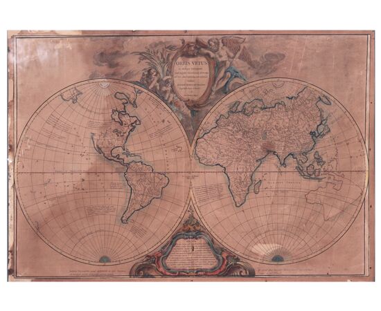
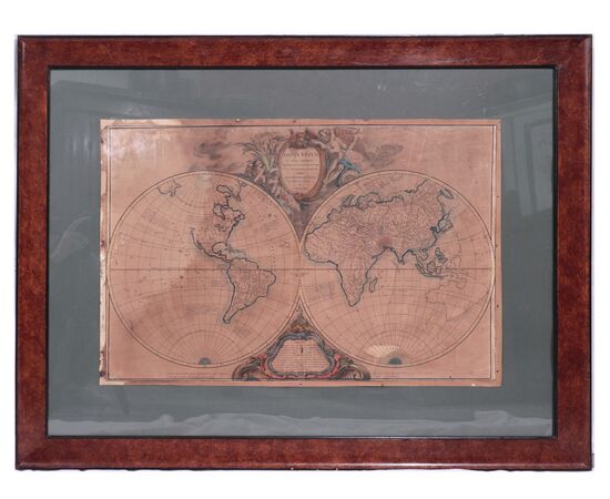
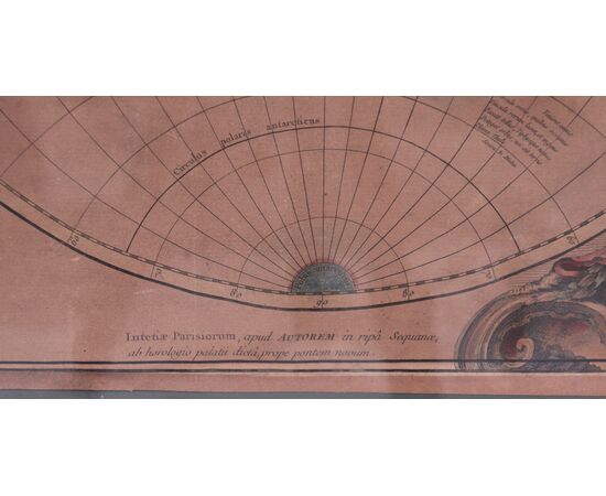
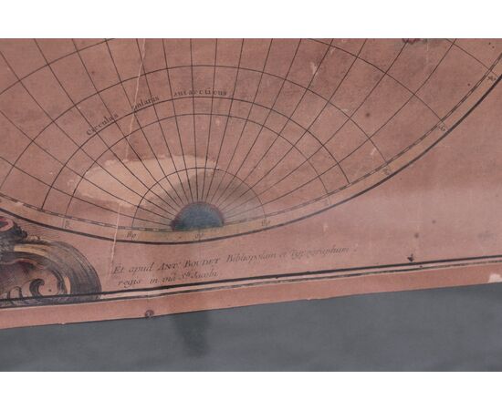
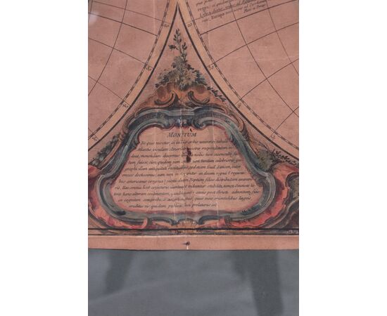
Terrestrial Globe - Robert De Vaugondy 1752
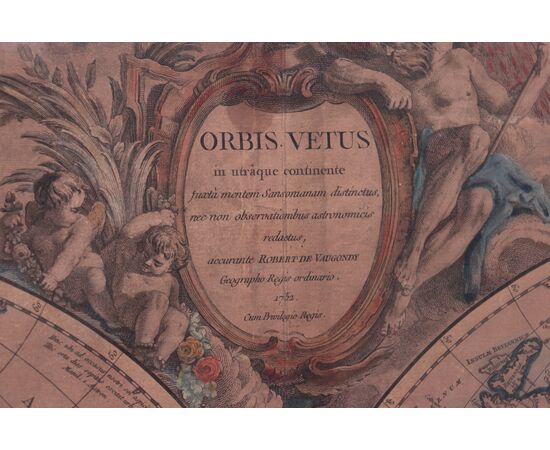
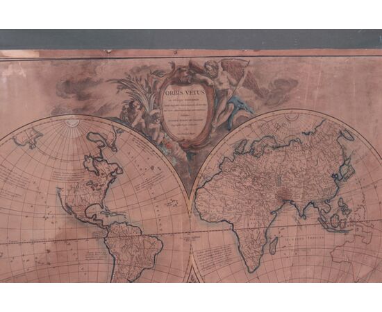
Gilles Robert de Vaugondy (1688-1766) He was one of the leading cartographers of France. Card size: 73x50cm Frame size: 103x80cm Globe. Dated 1752 Orbis vetus in utrâque continent: juxtà mentem Sansonianam distinctus, nec non observationibus astronomicis redatus. The map shows mid-18th century geography and major cities of four known continents and parts of two incomplete continents [Australia and North America not marked]. The western hemisphere is called the "Atlantis Insula" and the southeastern coast of Australia is shown as encompassing island areas actually to the north.

